The Landsat 10 Spacecraft Draft Request for Proposal (DRFP) is available for review via SAM.gov as of May 18, 2026. This solicitation marks a major milestone in continuing the decades-long partnership between NASA and the U.S.…
NASA researchers James Irons and Eric Vermote have been selected as winners of the 2025 William T. Pecora Award for their outstanding leadership and pioneering research that revolutionized the Landsat program and advanced global, land-change monitoring.
The U.S. Geological Survey (USGS) has released a Request for Information (RFI) seeking industry input on the future Landsat 10 Mission Operations Center (MOC) and flight operations architecture.…
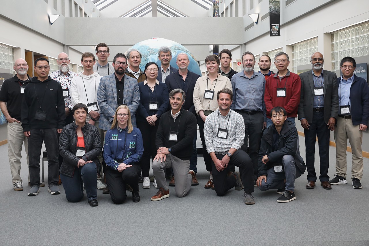
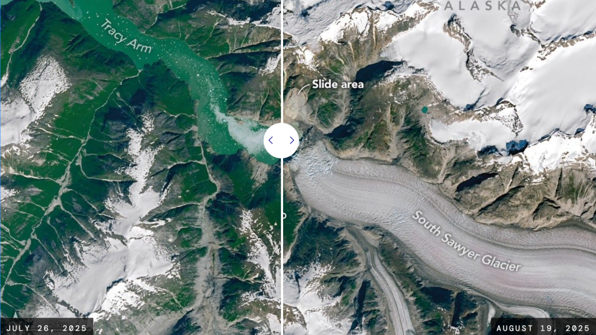
From May 5 to 7, the Landsat Science Team meeting convened at the Earth Resources Observation and Science (EROS) Center in Sioux Falls, SD. Co-moderated by Landsat 8, 9, and 10 Project Scientist Chris Neigh, the three-day event officially introduced the…
Landsat, a joint program between NASA and the United States Geological Survey (USGS), has been continuously collecting satellite images of the Earth since 1972. NASA's "Your Name in Landsat" site…
The visible spectral bands of Landsat—the same blue, green and red wavelength colors our eyes can see—are typically not that useful when collected on the
For more than 50 years, Landsat has imaged Earth’s land and near-shore surfaces as the satellites descend in midmorning orbit, when daily sunlight is optimal. That’s just what they’ve always done.…