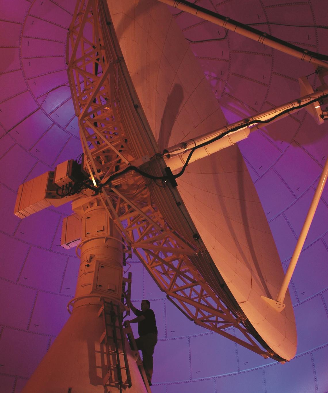
Landsat satellite dish inside radome at USGS EROS The Landsat 10 mission, a joint program between the USGS and NASA, will continue the more than five-decade Landsat record of global land imaging. Following NASA’s on-orbit commissioning, mission operations will transition to the USGS, continuing the agency’s longstanding role in Landsat flight operations, data processing, archiving, and distribution. Through this RFI, the USGS is seeking information on highly available and resilient Mission Operations Center approaches capable of supporting spacecraft command and control, mission planning, communications scheduling, observatory health and safety, and long-term operations and sustainment.…