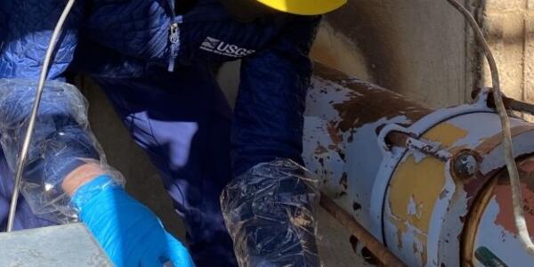
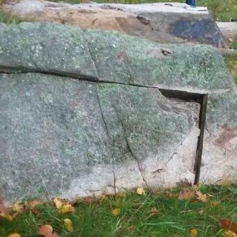
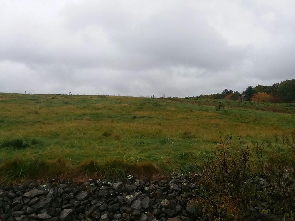
A fracture in granite within New Hampshire's Rye Complex, one of two lithotectonic belts in the state's coastal region. The groundwater flow model results from this study show that groundwater flow paths can be used by local, state, and federal entities as a tool for decision making about the transport of contaminants, such as PFAS, and potential mitigation strategies. Because this model considers local and regional geologic complexity, it can help decision-makers develop targeted rather than blanket approaches. Located in North Hampton and Greenland, the Coakley Landfill was active for a decade before being added to the EPA's Superfund National Priorities List as a contaminated site prioritized for long-term remediation in 1983. Exposure to high levels of PFAS, a group of manmade chemicals, may adversely affect human health, according to the EPA . Therefore, understanding where the PFAS could move once it enters the groundwater is vitally important to nearby residents.…