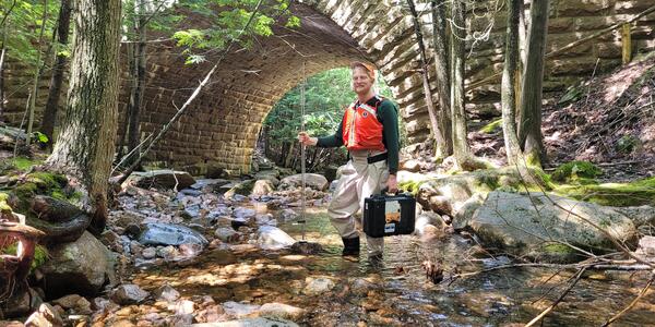
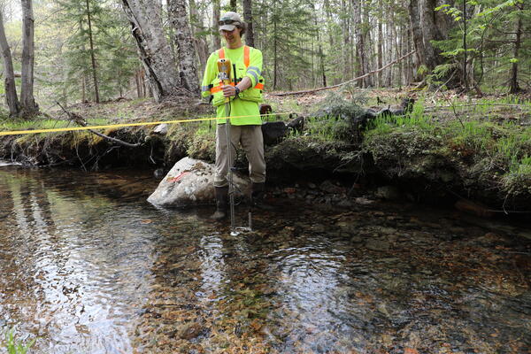
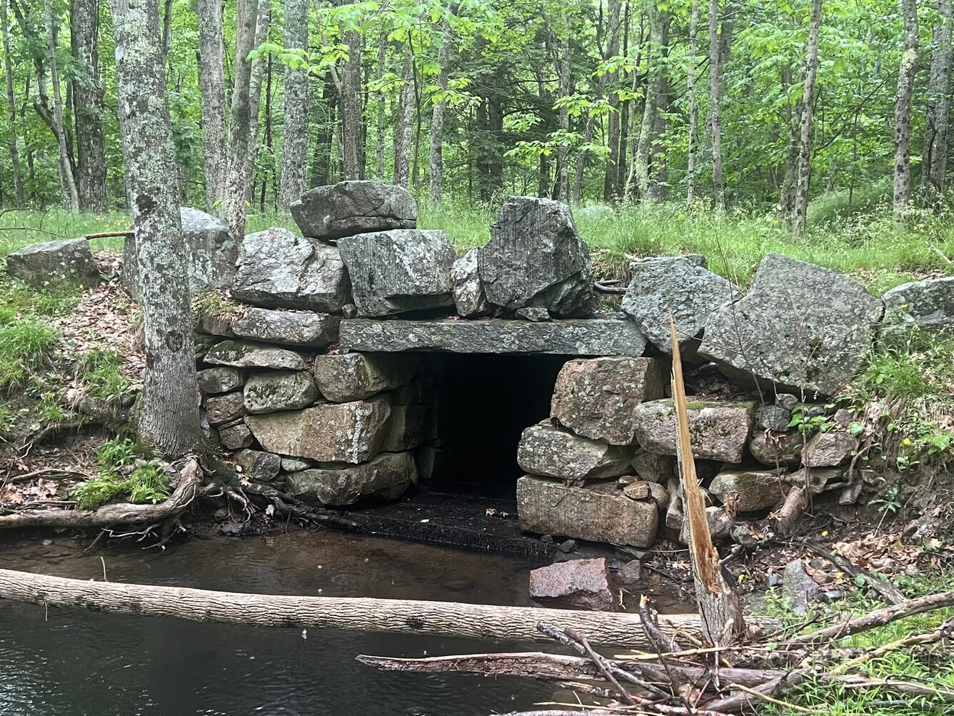
To improve infrastructure management in anticipation of more frequent and intense flooding events, the U.S. Geological Survey (USGS), in cooperation with the National Park Service (NPS), has developed multiple datasets that can help Acadia National Park’s natural resource managers identify the stream reaches and stream crossings (i.e. culverts and bridges) that have the highest potential for erosion and flood damage. “Overall, these datasets allow users to identify stream reaches with the highest erosion potential and stream crossings that are most vulnerable to flood damage,” said USGS hydrologist and lead author Ian Armstrong. “They also highlight areas where supplemental field assessments could most effectively be completed.” In addition to the report , USGS and NPS have created an online dashboard that enables users to click on a stream reach or crossing to view its erosion potential and flood vulnerability details.…