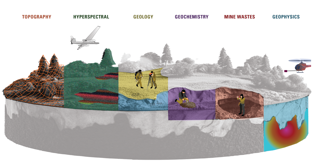
“Regaining America’s mineral independence takes a united effort starting with world-leading USGS mineral science and NASA aeronautics. As of today, the hyperspectral survey from the edge of earth’s atmosphere has covered about 400,000 square miles, giving us a brilliant new picture of the mineral wealth under the western states,” said Andrea Travnicek, assistant secretary of the Interior for Water and Science. “This hyperspectral survey is one of the latest tools for a USGS mission that started in 1879: mapping the mineral resources of the United States. NASA flies the highest of all our cutting-edge Earth MRI surveys which together show where to look for the minerals needed to drive the U.S.…