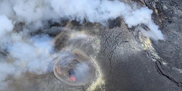
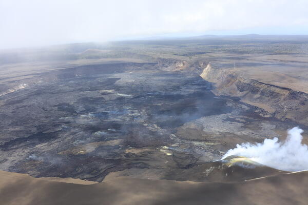
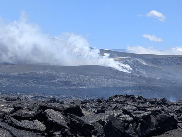
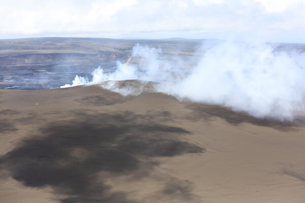
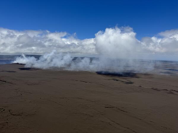
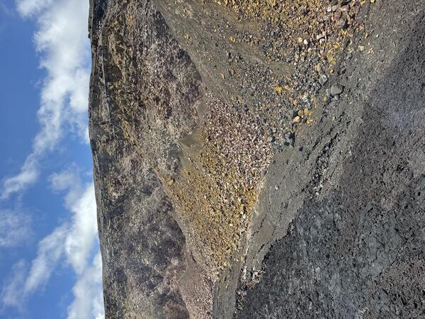
USGS Hawaiian Volcano Observatory scientists conducted a monitoring overflight of Kīlauea summit the morning of May 22, 2026. During the overflight, they collected imagery to create a three-dimensional model of the crater floor, thermal imagery to determine the extent of episode 47 lava flows, and traversed beneath the volcanic plume to measure emission rates. Sulfur dioxide emission rates were an average of about 2,000 tonnes per day, which is on par for what is expected during pauses during the ongoing eruption of Kīlauea. USGS photo by D. Downs. This view, from the floor of Halemaʻumaʻu crater at the summit of Kīlauea, shows the north and south vents degassing with the slope of the tephra cone on the crater rim visible in the background. USGS photo by M. Cappos. During a monitoring overflight on May 22, 2026, USGS Hawaiian Volcano Observatory scientists captured this aerial view looking down into the south vent in Halemaʻumaʻu at the summit of Kīlauea.…