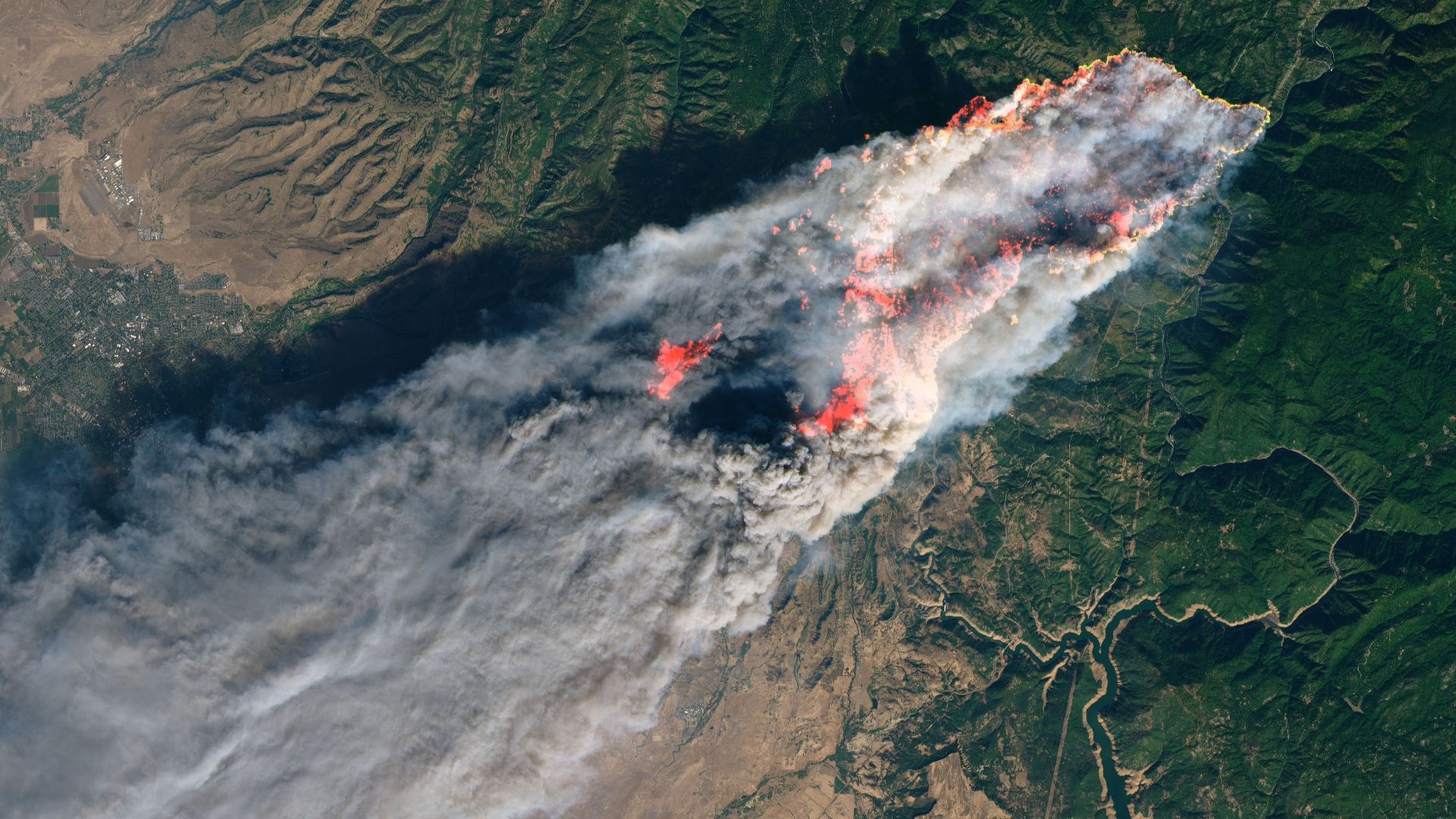
On November 8, 2018, the Camp Fire erupted 90 miles (140 kilometers) north of Sacramento, California. The Operational Land Imager on Landsat 8 acquired this image on that day around 10:45 a.m. local time (18:45 Universal Time). The image was created using Landsat bands 4-3-2 (visible light), along with shortwave-infrared light to highlight the active fire. (Image credit: NASA Earth Observatory image by Joshua Stevens, using Landsat data from the U.S. Geological Survey, and MODIS data from NASA EOSDIS/LANCE and GIBS/Worldview. ) When you think of air pollution from wildfires, you probably picture the thick plumes of smoke and ash that waft into the atmosphere during a blaze. And if you've lived in an area that’s been enveloped by these emissions, you know to stay inside or wear a mask when the light tints red and gets hazy. But this thick cloud isn't the only component of wildfire smoke that carries a health risk.…