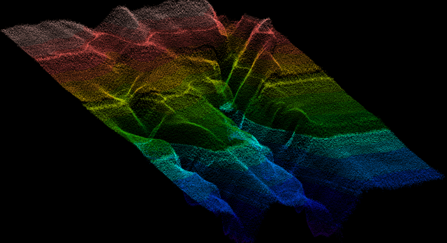
“Florida’s coastline is one of our state’s greatest natural and economic assets, supporting millions of residents, tourism, commercial fisheries, and critical infrastructure,” said DEP Secretary Alexis A. Lambert. “Understanding the seafloor and the features that shape our coast helps us make smart decisions about protecting communities, strengthening resilience, and investing taxpayer dollars where they will have the greatest impact.” FSMI uses advanced technologies to capture detailed bathymetric data across shallow and deepwater environments. Airborne LiDAR systems measure water depths using laser pulses, while vessel-based multibeam sonar maps deeper waters in high resolution. High-resolution seafloor data support a wide range of coastal management decisions, including identifying offshore sand sources for beach nourishment, improving storm surge and flood modeling, and guiding the protection and restoration of coral reefs and seagrass beds.…