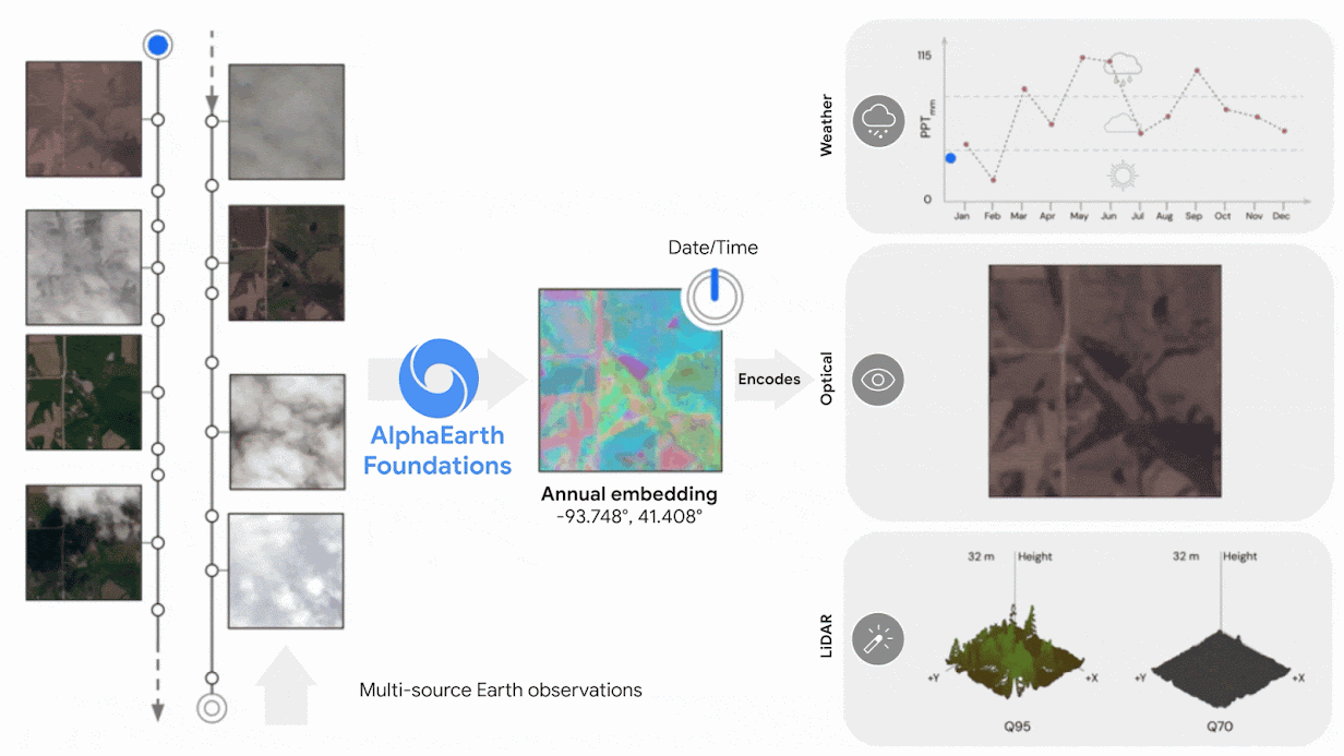
New AI model integrates petabytes of Earth observation data to generate a unified data representation that revolutionizes global mapping and monitoring Every day, satellites capture information-rich images and measurements, providing scientists and experts with a nearly real-time view of our planet. While this data has been incredibly impactful, its complexity, multimodality and refresh rate creates a new challenge: connecting disparate datasets and making use of them all effectively. Today, we’re introducing AlphaEarth Foundations, an artificial intelligence (AI) model that functions like a virtual satellite. It accurately and efficiently characterizes the planet’s entire terrestrial land and coastal waters by integrating huge amounts of Earth observation data into a unified digital representation, or " embedding, " that computer systems can easily process.…