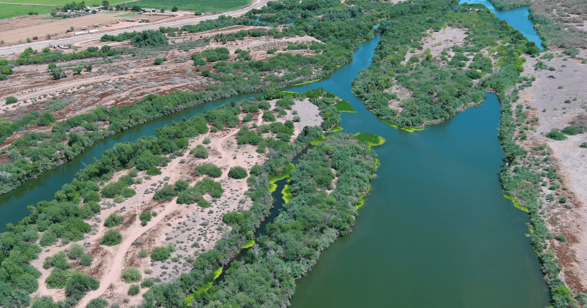
The Salt and Gila Rivers flow through central Arizona, providing water supplies to communities, Tribes, agriculture, and industry –and connecting people to nature. This river corridor also provides habitat for birds and other wildlife—so much so that the Lower Salt and Gila Rivers Ecosystem has been designated as an Important Bird Area (IBA), with species like the federally endangered Yuma Ridgway’s Rail depending on the marsh habitat it provides. Significant changes have occurred in the ecosystems of the Lower Gila River (the river stretch from the City of Phoenix's Tres Rios Wetlands to Gillespie Dam south of Arlington), due to historic land and water management practices (such as dams and diversion upstream) combined with a hotter and drier climate. These changes have contributed to the proliferation of invasive plants—like salt cedar (also known as tamarisk)—crowding out native plants, decreasing the water quality and quantity,…