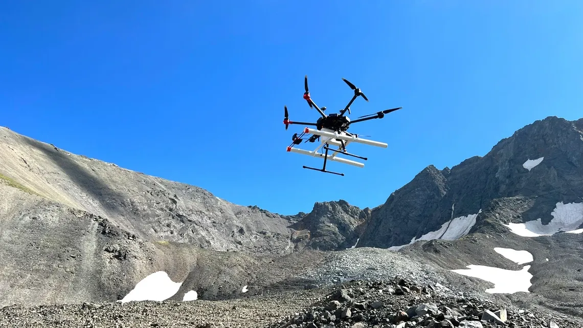
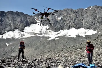
Silhouetted against the blue sky, a drone carrying a ground-penetrating radar instrument lifts off from Galena Creek Rock Glacier in Wyoming. (Image credit: Jack W. Holt) A new study suggests the search for usable water on Mars may soon rely on an unexpected tool: drones equipped with radar, flying just above the surface to peer underground in ways orbiters cannot. Researchers led by the University of Arizona have shown that drone-mounted ground-penetrating radar can map buried glaciers on Earth in remarkable detail, offering a blueprint for how similar techniques could be used on Mars . The work focuses on glaciers in Alaska and Wyoming that closely resemble debris-covered ice deposits identified on the Red Planet, according to a statement from the university. A research drone equipped with ground-penetrating radar takes off for a reconnaissance flight on Galena Creek Rock Glacier, Wyoming.…