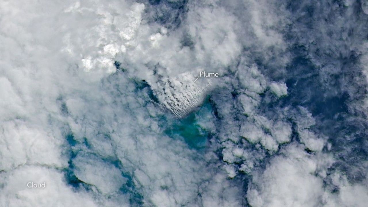
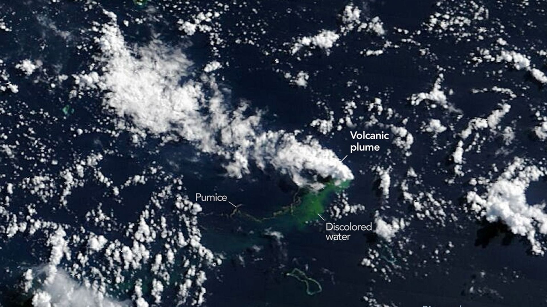
Closely spaced volcanic plumes, surrounded by clouds, stream from a growing underwater volcanic platform in this natural-color image captured by the OLI (Operational Land Imager) on Landsat 9 on May 11, 2026, three days after the eruption began. (Image credit: NASA Earth Observatory images by Michala Garrison.) In early May, NASA satellites imaged an underwater volcanic eruption in the Bismarck Sea off the coast of Papua New Guinea. But when volcanologists looked to study the event, they reached a frustrating wall. There are no high-resolution maps of the seafloor here. That lack of baseline data made it more difficult for scientists to determine exactly how the eruption reshaped the seafloor or how large the volcanic structure may be. In fact, they aren't even sure which geological feature even erupted. Current theories suggest the eruption likely occurred along the Titan Ridge, about 10 miles (16 kilometers) southeast of a 1972 submarine eruption site.…